
Cerro Masatrigo (Badajoz)
Article Sidebar
Published:
Mar 22, 2024
Main Article Content
Abstract
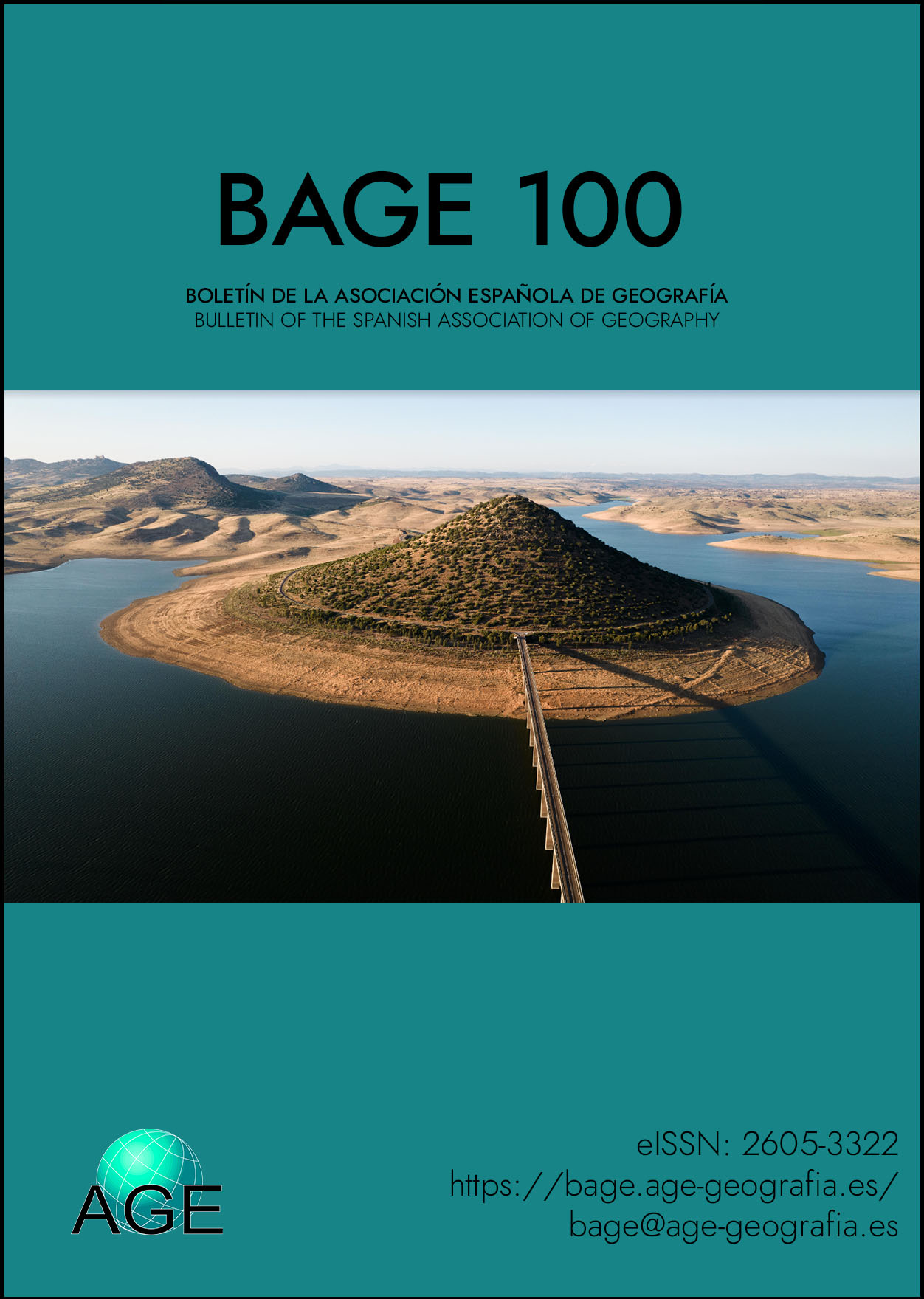
The photograph, taken from a drone, shows Cerro Masatrigo, a hill that was surrounded by the waters of the La Serena dam (which at the time was the largest in the Iberian Peninsula).
It is located in the municipality of Esparragosa de Lares and its height is 501 meters above sea level. Its conical shape stands out, well known because it is surrounded by the EX-322 road that, at the exit of the bridge, forks into two branches that surround this hill. There are also hiking trails to climb to the viewpoint at the top.
Coordinates: 38°56′04′′N 5°12′22′′O
Downloads
Download data is not yet available.
Article Details
How to Cite
Marín Sánchez, H. (2024). Cerro Masatrigo (Badajoz). Boletín De La Asociación Española De Geografía, (100). Retrieved from https://www.bage.age-geografia.es/ojs/index.php/bage/article/view/3551

This work is licensed under a Creative Commons Attribution-NonCommercial 4.0 International License.