
Thematic cartography as an optimal resource for understanding the COVID-19 pandemic: example of application in Spain
Article Sidebar
Main Article Content
Abstract
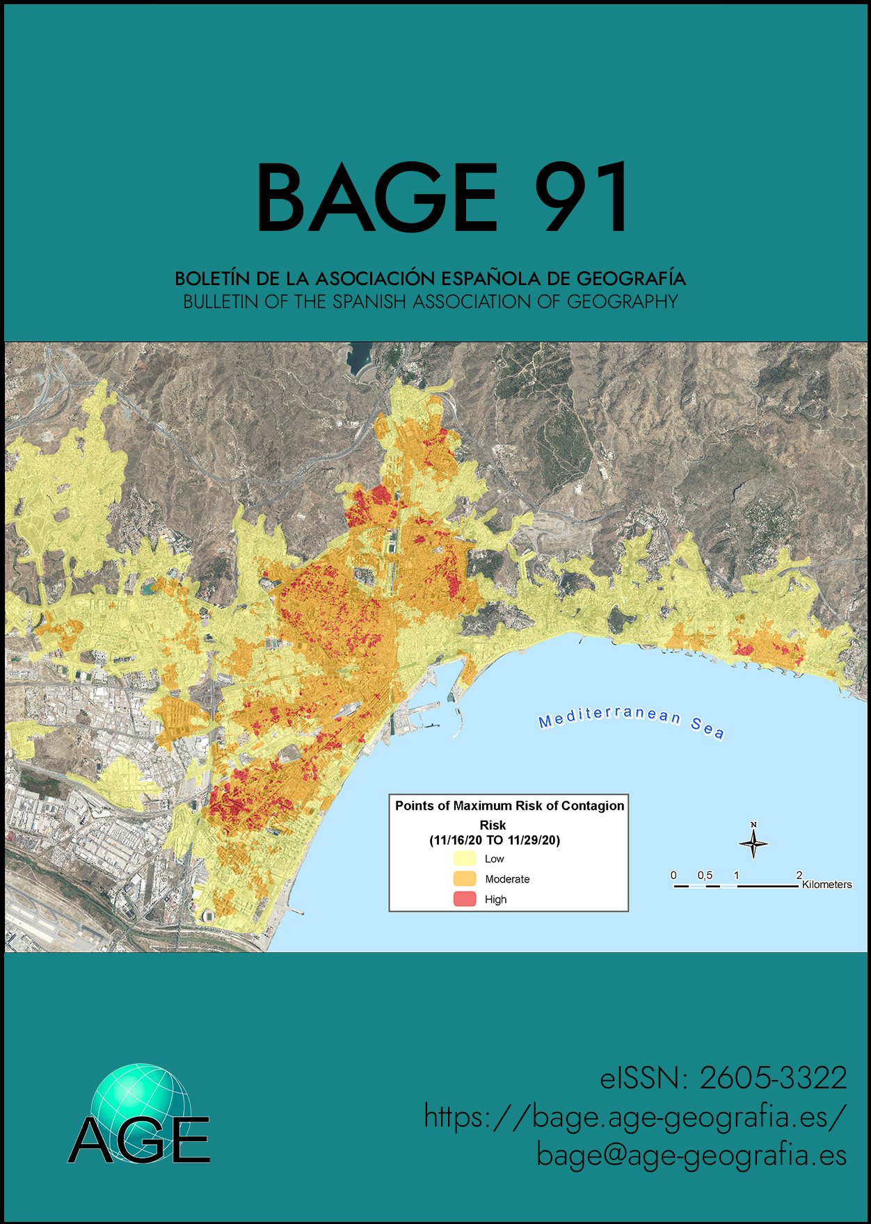
The Covid-19 pandemic has been a phenomenon of extraordinary significance due to its unfortunate impact on the high loss of human life and the perverse social and economic effects caused throughout the world. There are numbers of international organizations, and also in each country, that have uses cartographic resources to show its origin, diffusion and effects, the results being widely disseminated in the media. Cartography offers many possibilities to the user because can enter into an intelligent dialogue with the map in which, surely, will discover new nuances and, above all, will be able to formulate well-founded hypotheses that support future specific investigations. In Spain, a collaborative cartographic project has been developed between the National Geographic Institute and the Spanish Association of Geography, which has resulted in the publication of an Atlas on Covid-19 pandemic in Spain. This article is divided into five sections which cover conceptual and methodological aspects in elaboration of this Atlas; comparative analysis of international examples of Covid-19 mapping; and presentation examples of maps that make up this monograph Atlas.
Downloads
Article Details

This work is licensed under a Creative Commons Attribution-NonCommercial 4.0 International License.
References
Aggarwal, R., Bhattacharya, S., & Singh, S. (2020). Mapping the Global Research and Clinical Trials in COVID-19. MedRXiv. https://doi.org/10.1101/2020.06.27.20141788
Franch-Pardo, I., Napoletano, B.M., Rosete-Verges, F., & Billa, L. (2020). Spatial analysis and GIS in the study of COVID-19. A review. Science of the total environment, 739, 1-10. https://doi.org/10.1016/j.scitotenv.2020.140033
Guallart Moreno, C. (2020). La cartografía digital generada por la COVID-19: análisis y tipologías. Espacio, Tiempo y Forma, serie VI-Geografía, 13, 103-134. https://doi.org/10.5944/etfvi.13.2020.27806
Juergens, C. (2020). Trustworthy COVID-19 Mapping: Geo-spatial Data Literacy Aspects of Choropleth Maps. KN Journal of Cartography and Geographic Information, 23, 1-7. https://doi.org/10.1007/s42489-020-00057-w
Hempel, S. (2018). The Atlas of Disease: mapping deadly epidemics and contagion from the plague to zika virus. London: White Lion Publishing.
Instituto Geográfico Nacional (2018). España en mapas. Una síntesis geográfica. J. Sancho Comíns (dir.). Serie Compendios del Atlas Nacional de España (ANE). Madrid: Centro Nacional de Información Geográfica. http://www.ign.es/web/ign/portal/espana-en-mapas
Instituto Geográfico Nacional (2021). La pandemia COVID-19 en España (In press) (Dir. By J. Sancho Comíns & J. Olcina Cantos). Serie Monografías del Atlas Nacional de España (ANE), Centro Nacional de Información Geográfica.
Kamel Boulos, M.N., & Geraghty, E.M. (2020). Geographical tracking and mapping of coronavirus disease COVID-19/severe acute respiratory syndrome coronavirus 2 (SARS-CoV-2) epidemic and associated events around the world: how 21st century GIS technologies are supporting the global fight against outbreaks and epidemics. International Journal of Health Geographics, 19(8). https://doi.org/10.1186/s12942-020-00202-8
Liu, N., Chee, M.L., Niu, C., Pin, P.P., Siddiqui, F.J., Ansah, J.P., Matchar, D.B., Wei Lam, S.S., Abdullah, H.R., Chan, A., Malhotra, R., Graves, N., Koh, M.S., Yoon, S., Wah Ho, A.F., Wei Ting, D., S., Hong Low, J.G., & Hock Ong, M.E. (2020). Coronavirus disease 2019 (COVID-19): an evidence map of medical literature. BMC Medical Research Methodology, 20(177). https://doi.org/10.1186/s12874-020-01059-y
Mandelshtam, N. (2012). Contra toda esperanza. Acantilado.
Méndez, R. (2020). Sitiados por la pandemia. Del colapso a la reconstrucción: apuntes geográficos. Ed. Revives. http://revives.es/publicaciones/
Méndez, R. (2021). Sitiados por la pandemia. Del colapso a la reconstucción; apuntes geográficos (2ª edición). Ed. Revives. http://revives.es/wp-content/uploads/2021/06/SITIADOS-POR-LA-PANDEMIA_2a-edicion.pdf
Mocnik, F-B., Raposo, P., Feringa, W., Kraak, M-J., & Köbben, B. (2020). Epidemics and pandemics in maps – the case of COVID-19. Journal of Maps, 16(1), 144-152. https://doi.org/10.1080/17445647.2020.1776646
Olcina, J., Biener, S., & Martí, J. (2020). Aspectos atmosféricos y climáticos en la expansión de la pandemia (COVID-19) en la provincia de Alicante. Investigaciones Geográficas, 73, 275-297.
Ostaszewski, M., Mazein, A., Gillespie, M.E., Kuperstein, I., Niarakis, A., Hermjakob, H., Pico, A. R., Willighagen, E.L., Evelo, C.T., Hasenauer, J., Schreiber, F., Dräger, A., Demir, E., Wolkenhauer, O., Furlong, L. I., Barillot, E., Dopazo, J., Orta-Resendiz, A., Messina, F., Valencia, A., Funahashi, A., Kitano, H., Auffray, C., Balling, R., & Schneider, R. (2020). COVID-19 Disease Map, building a computational repository of SARS-CoV-2 virus-host interaction mechanisms. Scientific Data, 7(136). https://doi.org/10.1038/s41597-020-0477-8
Pourghasemi, H.R., Pouyan, S., Farajzadeh, Z., Sadhasivam, N., Heidari, B., Babaei, S., & Tiefenbacher, J.P. (2020). Assessment of the outbreak risk, mapping and infection behavior of COVID-19: Application of the autoregressive integrated-moving average (ARIMA) and polynomial models. Plos One, 15(7), e0236238. https://doi.org/10.1371/journal.pone.0236238
Sancho Comíns, J. (2005). Imagen y Paisaje. Monografía del Atlas Nacional de España, Instituto Geográfico Nacional/Centro Nacional de Información Geográfica.
Sancho Comíns, J., & Reinoso Moreno, D. (2013). El paisaje en imágenes: de una representación analítica a las nuevas visualizaciones sintéticas. Geoinformación para el ordenamiento territorial: Experiencias aplicaciones y avances (pp. 216-227). Centro de Geomática, Universidad de Talca.
Sancho Comíns, J. (2019). De la realidad al mapa: ¿Un proceso creativo más allá de la técnica? Estudios Geográficos, 80(286), 1-13. https://doi.org/10.3989/estgeogr.201922.002
Sancho Comíns, J., & Olcina Cantos, J. (2020). De la geografía a los atlas y de los atlas a la geografía (Note). Revista de Estudios Geográficos, CSIC, 81(288), e042. https://estudiosgeograficos.revistas.csic.es/index.php/estudiosgeograficos/article/view/780/931
Smith, C.D, & Mennis J. (2020). Incorporating Geographic Information Science and Technology in Response to the COVID-19 Pandemic. Preventing Chronic Disease, 17, 200246. http://dx.doi.org/10.5888/pcd17.200246
Tétart, F. (2021). Grand atlas: Quel monde après le Covid-19? Editions Autrement.